Automated Crop Detection with Satellite Technology
Welcome to our cutting-edge automated crop type detection system, revolutionizing the agricultural industry with its precision and efficiency. Leveraging state-of-the-art satellite imagery technology, we offer a comprehensive solution for identifying over 350 crop types with unprecedented accuracy. Over the past decade, we have meticulously mapped more than 80 countries, providing invaluable insights into global agricultural trends
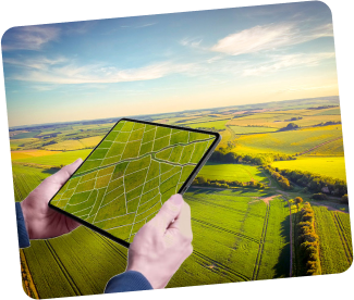
How it works
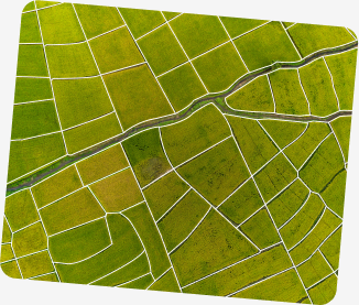
Map My Crop uses advanced machine learning and computer vision to automatically map farm boundaries from satellite images or aerial photos. This precision is vital for efficient land-use planning in agriculture. By automating the process, Map My Crop saves time and resources, providing accurate maps for optimized production and management.
Why To Use

Key features of Automated Crop Detection with Satellite
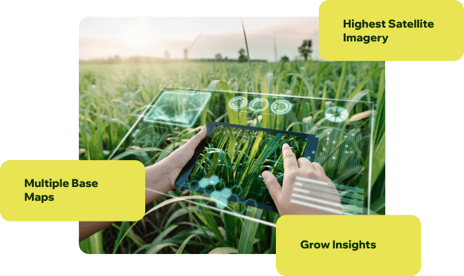

Our system can detect and classify over 350 crop types, providing a granular understanding of agricultural landscapes.
- Enhanced Productivity: By accurately identifying crop types and monitoring their health, farmers can optimize inputs, implement targeted interventions, and maximize yields.
With over 80 countries mapped and continuously expanding, our database offers comprehensive coverage of major agricultural regions worldwide.
- Resource Efficiency: Precise crop mapping enables efficient allocation of resources such as water, fertilizers, and pesticides, reducing waste and environmental impact.
Leveraging advanced algorithms and machine learning models, our system delivers precise crop identification results, minimizing errors and false positives.
- Risk Mitigation: Early detection of crop diseases, pests, or environmental stressors allows for timely intervention, minimizing potential losses and preserving farm profitability.
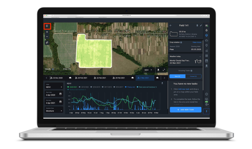
Users can access real-time updates on crop distribution and health, facilitating proactive decision-making and resource allocation.
- Data-Driven Decision Making: Access to comprehensive crop data empowers stakeholders with actionable insights for strategic planning, market analysis, and policy formulation.
Whether accessed through our app, software interface, or API, our solution is designed to scale seamlessly to meet the needs of individual farmers, large-scale agribusinesses, and government agencies alike.
- Sustainability: By promoting precision agriculture practices and optimizing land use, our solution contributes to sustainable farming practices and conservation of natural resources.
Historical data spanning a decade allows for trend analysis, seasonal variations, and long-term planning, empowering users with valuable insights into agricultural dynamics.