

What does API mean, and how does it interact with satellite data?
Map My Crop aims to revolutionize agriculture by empowering farmers with innovative technology. The mission is to enable sustainable and climate-resilient agriculture through AI and ML-based automated crop monitoring.

Approach
Agronomy department can automate field insights creation based on your own private rules

Data Synchronisation
Bidirectional data synchronization to import any of your field

Flexiblity
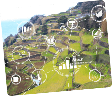
Plug into any systems, platform or service and to enable automatically producing insights about any field on a global scale
Benefits of using Satellite Data API

Automated Zone Creation: Effortlessly generate zones, VR maps, and insights based on proprietary logic through streamlined automation.
Scalable Calculations: Conduct calculations for any scale, handling millions of hectares with ease, using our simple yet powerful API.
Free Satellite Imagery: Access complimentary satellite imagery every q days via API for precise crop mapping, enhancing visibility and decision-making.
Comprehensive Data Delivery: Obtain a wealth of information with a single API, covering weather, economics, and water-related datasets tailored to your farm’s needs.ing with data and analytics
Infrastructure Support: Focus on your product while we provide robust infrastructure for seamless data handling and analytics.
Integration Assistance: Benefit from our support in integrating data and analytics into your business processes and existing solutions, ensuring a smooth transition