
Advanced Crop Monitoring Solutions
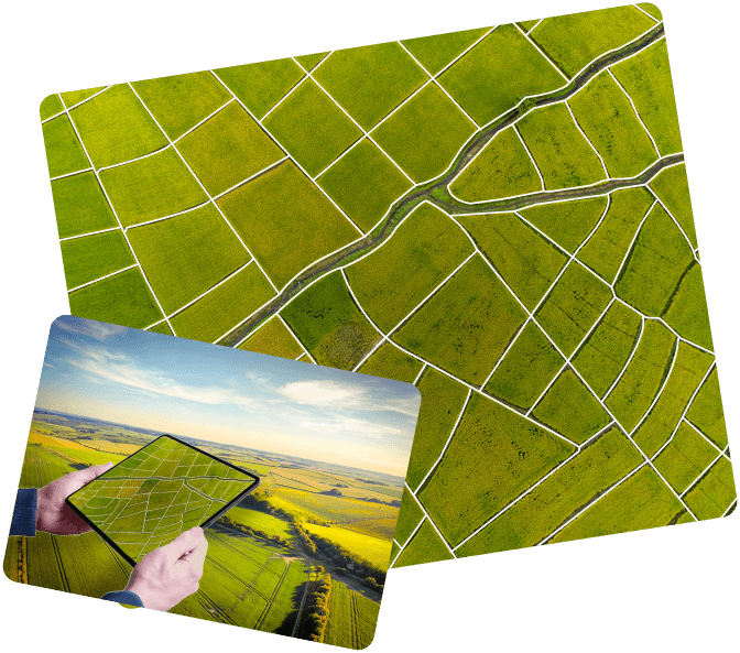
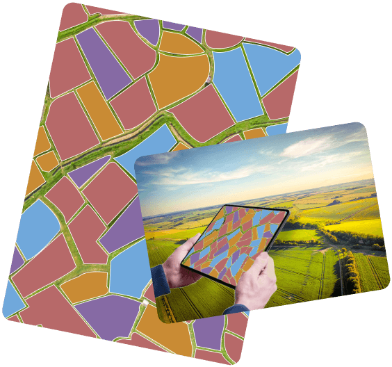
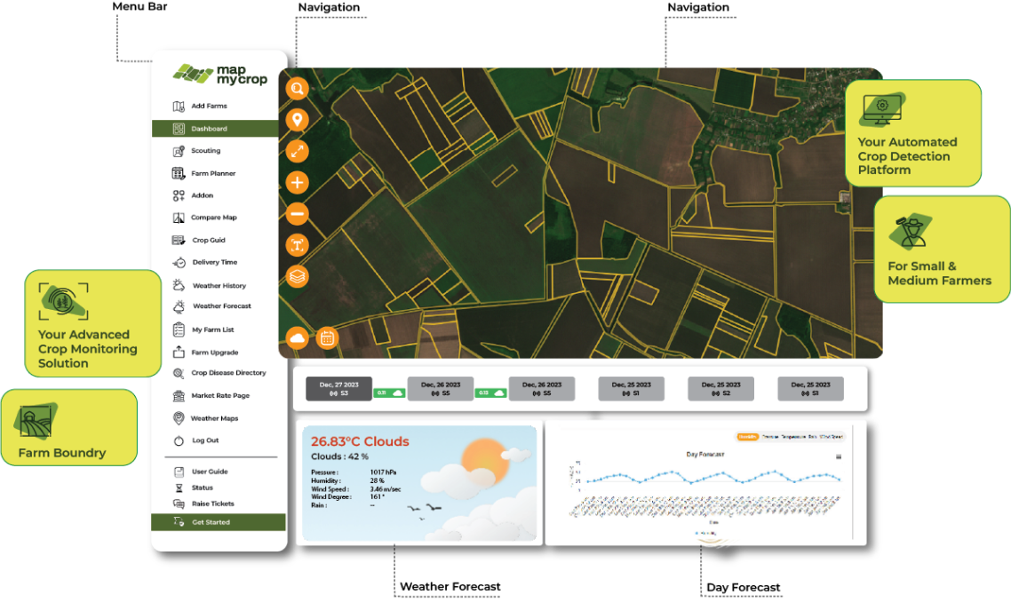
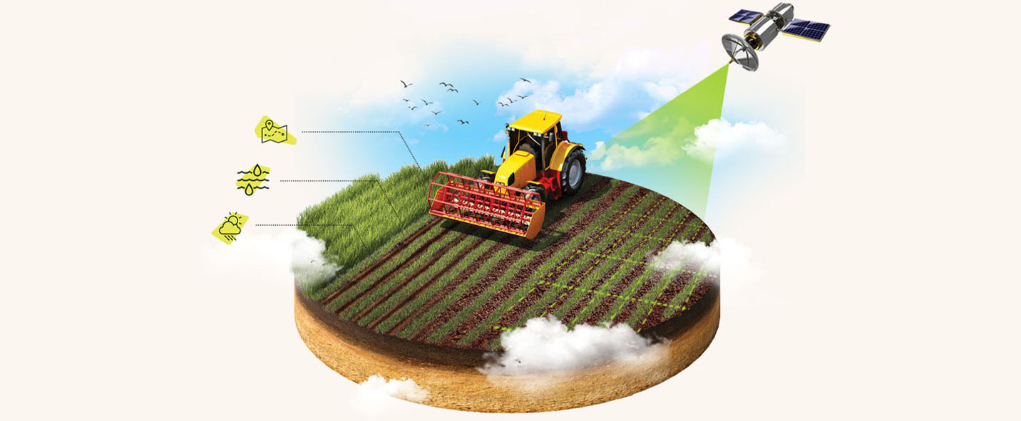
Unlock Precision Agriculture with Map My Crop's Advanced Crop Monitoring Solutions Empower your farming endeavors with cutting-edge technology through Map My Crop's Advanced Crop Monitoring Solutions. Our sophisticated tools harness the power of data-driven insights, offering a bird's eye view of your fields in real time. From precise crop health assessments to predictive analytics, our solutions redefine the future of agriculture. Seamlessly integrated with Map My Crop's platform, these advanced monitoring tools not only enhance productivity but also cultivate sustainable farming practices. Embark on a journey of informed decision-making, where every acre tells a story, and every yield is optimized. Join us in revolutionizing agriculture through innovation and intelligence with Map My Crop's Advanced Crop Monitoring Solutions. Your fields, our technology – cultivating success together.